The weather in Italy changes during these hours. A disturbance of Atlantic origin reaches northern Italy. It will determine the return of the snow.
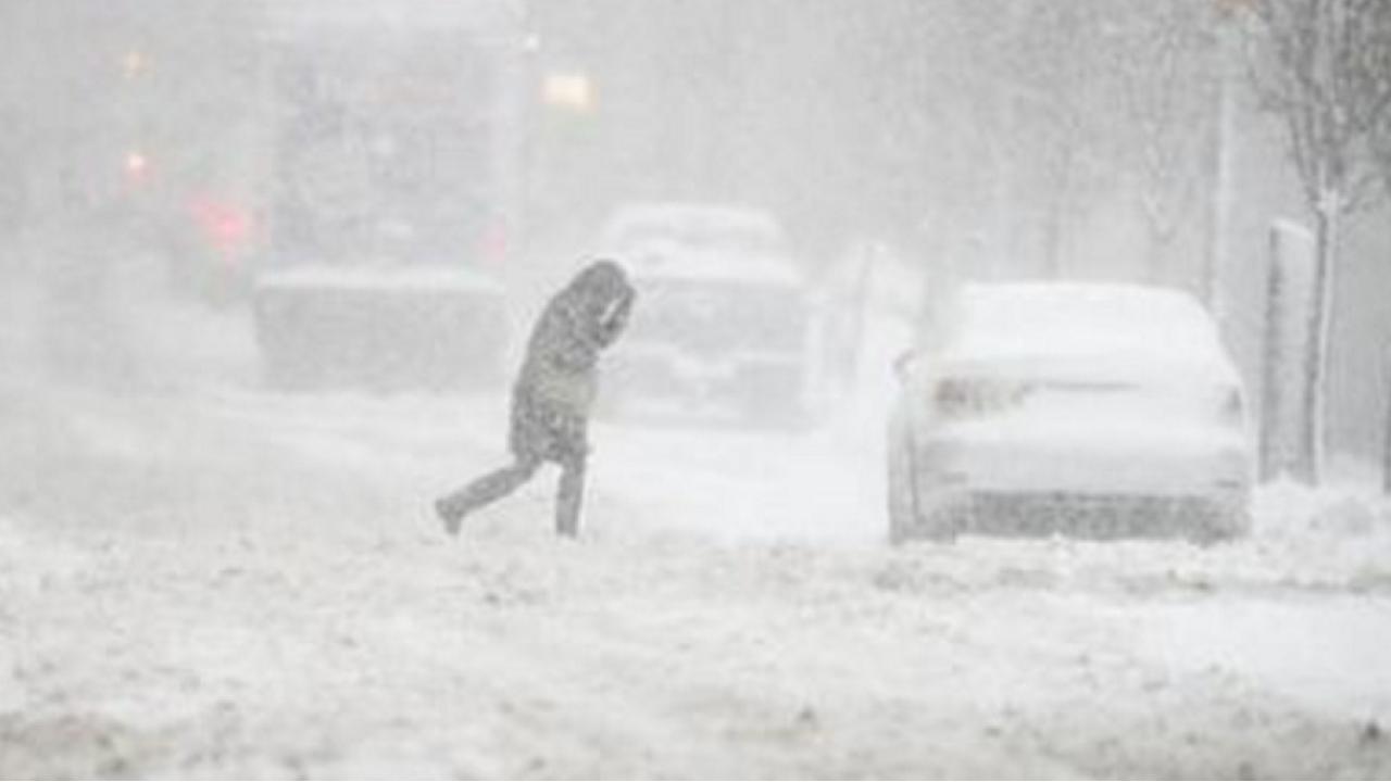
At first, explains 3Bmeteo, in the Western Alps at altitudes initially above 2,000 meters. On Friday, November 4, the weather will be characterized by a wave of colder air, coming from the high European latitudes. A phenomenon that will trigger a lowering of the freezing point and the limit of snowfall in the alpine areas. Even below 1,500 meters, but with phenomena that will tend to subside.
 Photo Twitter @ Meteo2_it
The cold air will flow to the central-northern Apennines, still on Friday 4, and the snowflakes will locally make their first appearance below 2 thousand meters in the central-northern sector. On Saturday November 5, the last snowflakes will whiten the peaks of the central Apennines. Returning to the weather forecast for Friday November 4, the snowfall in the Western Alps will ease, apart from a little sleet on the Franco-Swiss borders with a rain-snow limit of up to 1,400 meters.
Snow on the Stelvio
The front will focus on the Lombard and Eastern Alps with intense phenomena and sometimes thunderstorms in the morning. While the snow level will drop to around 1,300-1,400 meters. A few centimeters of snow will settle in places like Livigno, ten centimeters at 2,200 meters, while at the Stelvio Pass, even 30 or 40 centimeters of fresh snow can settle.
Weather, the Apennines
The climatic disturbance will also affect the Apennines, where initially the phenomena will be in the rainy form. Over the hours, the cold flow of the northern quadrants will favor the drop in temperature in the Umbria-Marche and Lazio-Abruzzo sectors. There will be waning shards down to 1,900-2,000 meters that will whitewash landforms such as Sibillini, Marsica and Majella. The disturbance will be concentrated over the mid-low Adriatic and in the south, but temperatures will only allow snow to fall over the Abruzzo Apennines, at elevations above about 1,700 meters. A few drops of snow will still be possible even on the hills of Umbria-Marche, but of little importance, while in places like Campo Imperatore 5 or 10 centimeters of fresh snow can accumulate.

Alert in Campania
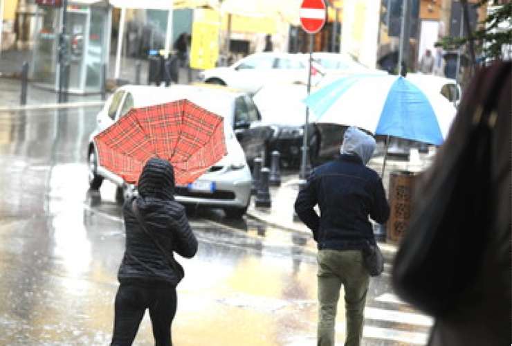
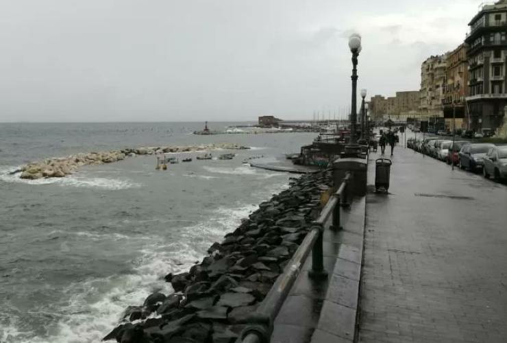
And after the period of summer temperatures in recent days, the weather alert is going off in Campania. The Civil Protection has indeed issued an alert with a level of yellow hydrogeological criticality over the entire region. From November 4 at 8 a.m. to Saturday November 5 at 8 a.m. Even intense thunderstorms, temporarily strong winds and rough seas are expected. Storm phenomena will evolve and could be accompanied by hail and lightning. Falling trees and damage to roofs and temporary structures are therefore possible. A hydrogeological risk is expected which could manifest itself by possible floods and floods. And also problems deriving from phenomena related to rainwater drainage systems.
 Photo Twitter @Napolikeit