 Photo Twitter @MeteoNotizie
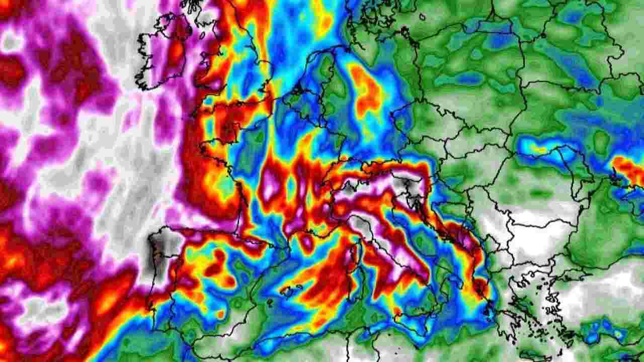
Weather forecasts indicate warm temperatures above the seasonal average for another two months across Italy. 2022 will then end with a rainy month of December. It will be necessary to wait until January for the temperatures to drop and for there to be a real winter cold.
The anomalies that will accompany the next two months are mainly due to the arrival of La Nina. This is the meteorological phenomenon that affects all regions of the Pacific as far as the Indian region, Africa and the Atlantic and which for the past two years has made precipitation more frequent in the Mediterranean between the end of autumn and the beginning of Winter. “While in November the rainfall will be within the seasonal average, December will be much rainier,” said Bernardo Gozzini, director of the Lamma Consortium, which brings together Tuscany and the National Research Council (CNR). Developed on the basis of the climatic trend of the period between 1981 and 2010, the seasonal forecasts of the Lamma consortium indicate a very different weather situation for November and December compared to that of October.
 Photo Twitter @MeteoNotizie
A phase characterized by anticyclones over the Mediterranean and part of continental Europe, the absence of cold currents from the polar regions and very rare precipitation. First, La Nina came to change things, taking the rains with her. At the same time, the main indices used for seasonal forecasts range from positive to negative: the first is the North Atlantic Oscillation (Nao) used in winter to predict the situation on the North Atlantic and the incursions of cold air from the Poles towards the middle latitudes.
Weather, November and December
The second is the Arctic Oscillation Index (Ao), which measures the state of the polar vortex, i.e. the area of low pressure found over the Arctic. A determining meteorological factor for weather conditions in the Northern Hemisphere. Faced with this situation, the models indicate a higher frequency of high pressure areas over the Atlantic, in particular between the mid-Atlantic, the British Isles and the North Sea, and over the Balkans.
 Photo Twitter @ilSalvagenteit
Between these two anticyclonic blocks, colder and more unstable air masses should enter. In this context, sirocco and libeccio type winds and temperatures above the seasonal average should prevail in November and December, particularly in the Centre-South. If in November the rainy days will be higher than the weather norm, especially in the north-western regions, in December the rains should be higher than the seasonal average throughout the Center and the North. While in the southern regions, they should be in the seasonal average. Everything should return to normal in January, although Lamma meteorologists note that there is currently a high degree of uncertainty due to the position of the anticyclonic blocks and the evolution of the polar vortex.
 Photo Twitter @vigilidelfuoco