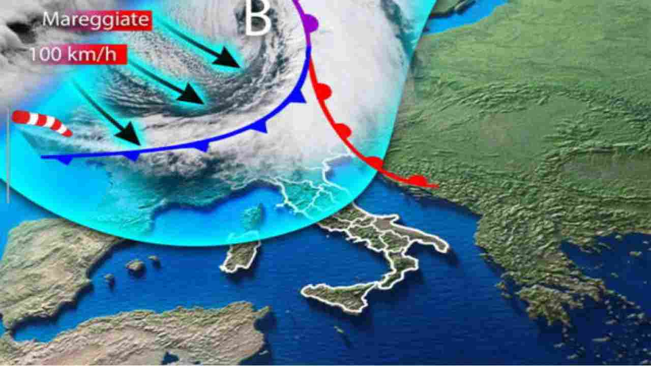
From Tuesday November 1, the weather changes in Italy. A first weak disturbance will bring some rains to the North-West and will be followed by a moderate drop in temperatures to the North and to the Tyrrhenian regions.
Antonio Sanò, from iLMeteo.it foresees it, announcing in the second part of the week the arrival of a Mediterranean vortex that will bring strong instability from the meteorological point of view. Therefore, in the next few days there will be a risk of intense thunderstorms, first in the North and in Tuscany, but then also in the rest of the Center. On Friday November 4, snow can fall up to 1500 meters in the Alps and at higher altitudes along the Apennines.
 Photo ilmeteo.it
Temperatures would drop significantly compared to the last few weeks, reaching values more suited to the weather season we are experiencing. In detail, Tuesday, November 1. In the North: rains in the North-West, then towards the Eastern sectors. Center: Lots of clouds and some rain over Tuscany. Overcast sky in Sardinia; partly cloudy elsewhere. In the South: the phase of absolute atmospheric stability continues. Wednesday November 2. In the North: isolated showers over Liguria, then over lower Lombardy and Veneto. In the center: showers in upper Tuscany, sunshine elsewhere. To the south: good weather prevailing. Trend: from Thursday, November 3, a cyclone is approaching which will hit Italy until Saturday, then the anticyclone will return.
Weather, rain in December
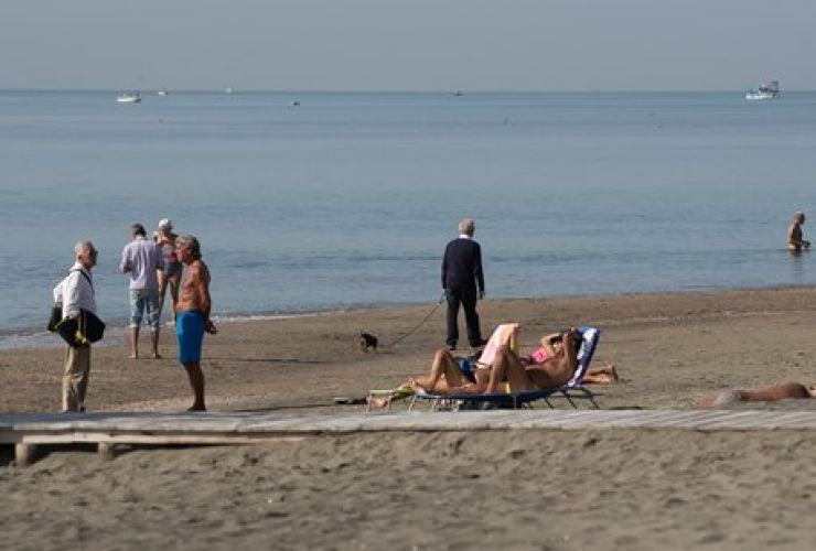
In any case, and whatever the disruption to come, the weather forecast points to warm temperatures above the seasonal average for another two months throughout Italy. 2022 will then end with a rainy month of December. It will be necessary to wait until January for the temperatures to drop and for there to be a real winter cold. The anomalies that will accompany the next two months are mainly due to the arrival of La Nina.
 Photo Twitter @lasiciliait
This is the meteorological phenomenon that affects all regions of the Pacific as far as the Indian region, Africa and the Atlantic and which for the past two years has made precipitation more frequent in the Mediterranean between the end of autumn and the beginning of Winter. “While in November the rainfall will be within the seasonal average, December will be much rainier,” said Bernardo Gozzini, director of the Lamma Consortium, which brings together Tuscany and the National Research Council (CNR). Developed on the basis of the climatic trend of the period between 1981 and 2010, the seasonal forecasts of the Lamma consortium indicate a very different weather situation for November and December compared to that of October.
Will January be the cold month?
If in November the rainy days will be higher than the weather norm, especially in the north-western regions, in December the rains should be higher than the seasonal average throughout the Center and the North. While in the southern regions, they should be in the seasonal average. Everything should return to normal in January 2023, although Lamma meteorologists note that there is currently a high degree of uncertainty due to the position of the anticyclonic blocks and the evolution of the polar vortex.
 Abnormal heat at the Toussaint bridge. But in a few days the rains come. Photo Twitter @tg2rai