The weather in Italy appears to be at the mercy of a veritable “summit” of cyclones. A multifaceted phenomenon that enveloped our country giving rise to a phase of bad weather. Between thunderstorms, mountain snow and hailstorms, there won’t be easy respite from the weather.
What has just begun will in fact be, from a meteorological point of view, a completely autumnal week over much of Italy. “We are not in the presence of a real disturbance – explain the experts of meteo.it – but of a cyclonic vortex.” And therefore possible phenomena that are difficult to locate “since they are mainly due to contrasts between air masses of different origins”. That is to say, in the specific case of the days to come, cold, “driven by this insidious summit” and “the milder air still present in our country”.
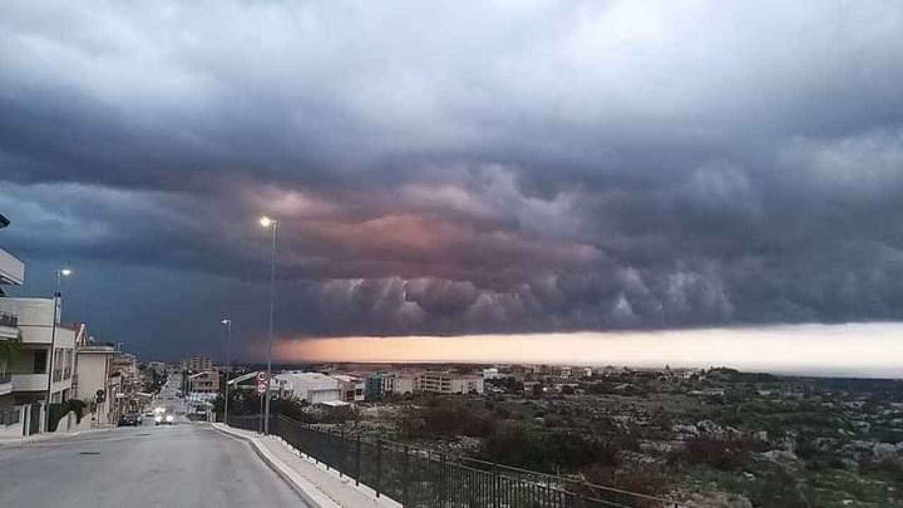
 Photo Twitter @Kurosh_74
From Tuesday, November 15, meteorologists expect a series of disturbances with heavy rains from the North to the Center-South. Snow is also expected in the Alps, coupled with a general drop in temperatures. According to ilmeteo.it, we must be prepared “for a long period of bad weather such as we have not seen for a long time, with a high risk of thunderstorms”.
Weather, a sudden turn
The cause of this sudden turn is to be found at the hemispheric level, where the main atmospheric figures of anticyclone and depression move. In particular, it is the Atlantic sector that is beginning to boil and, after a long hibernation, is ready to produce a series of well-organized weather disturbances. This will have direct effects “not only on Italy, but also on a large part of the Old Continent”, that is to say Europe.
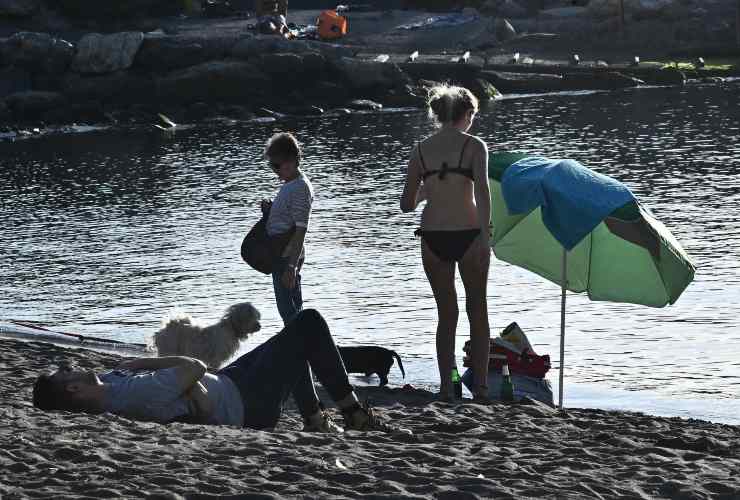
 Genoa by the sea at the end of October. But now the good weather is gone. Photo Ansa / Luca Zennaro
The onset of precipitation is expected in the Northwest and Lazio on November 14, while the first serious disturbance in the Northwest will arrive on November 15. The still too high temperature of our seas could provide the energy needed to accentuate this disturbance. Indeed, it will bring more humidity to the lower layers of the atmosphere. Thus, in the next few days, massive storm cells are likely to develop, capable of releasing large amounts of water to the ground. And all in a few hours.
Possible thunderstorms on weekends
Wednesday, November 16, the weather report indicates possible new violent precipitation “with up to 100 millimeters (10 centimeters) of rain in 24 hours, or 100 liters of rain per square meter”. And, “given the probable thermal drop due to downdrafts from northern Europe, snow could also return, even abundant in the Alps, with flakes up to 1500 meters above sea level”. Then, “after a Thursday, November 17 of apparent truce, from Friday 18, a second cyclone could reach our country and cause more heavy rains, locally in the form of a storm”.
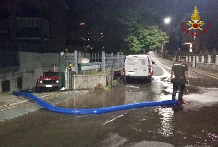
 The danger of storms and floods increases. Photo Ansa / Twitter Firefighters